Bannockburn Sluicings
Otago's own badlands
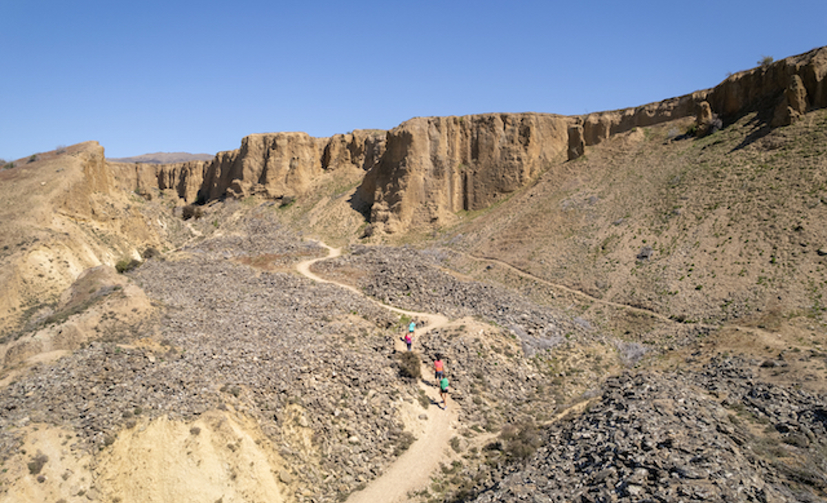
The Bannockburn Sluicings are a spectacular landscape of cliffs and pinnacles that remain from large-scale water blasting during the 19th century search for gold.
View on map
The significance of Bannockburn Sluicings
Source of food for Ngāi Tahu
Bannockburn Sluicings sits south of the Kawarau River, a traditional travel route that provided direct access between Whakatipu Waimāori (Lake Whakatipu) and Mata-au (the Clutha River). A natural rock bridge known as Pōtiki-whata-rumaki-nao once existed on the Kawarau, allowing people to cross the river. During the 1879 Smith Nairn Royal Commission of Inquiry into the Ngāi Tahu land claims, Ngāi Tahu kaumātua recorded Kawarau as a kāinga mahinga kai (food-gathering place) where weka, kākāpō, kea, and tuna (eel) were gathered.
How this unreal landscape came to be
This desert made by water is not a natural site, but the 150-year-old aftermath of goldminers’ dreams, and a technique known as ‘hydraulic sluicing’ where water was blasted at the hills to release the gold.
Walking through the old mining site
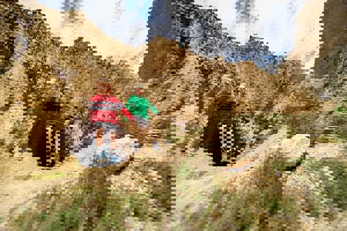
The Bannockburn Sluicings can’t be experienced from a distance; you have to walk it to understand it. What looks desolate from the entrance turns into a rough, raw and rewarding walk through a valley of caves, tunnels and rock tailings left untouched since abandoned by the last of the miners.
As an iconic heritage site, the shock of the old will take you to the edge of understanding, and give you a chance to reflect that it was people who made this place.
The Bannockburn Sluicings are proudly cared for by the Department of Conservation Te Papa Atawhai
What to see and do at Bannockburn
Hiking and mountain biking trails
The extensive man-made badlands near Cromwell can be explored on foot or mountain bike. Several trails offer different perspectives of the relics that lie amongst the spectacular cliffs and pinnacles scoured by miners using water-blasting to get to alluvial gold - the rich pickings deposited in and beside rivers.
Traverse the remains of extensive goldmining
Miners worked this area for 50 years, from the early 1860s. Explore what is left of the dams, tunnels, walls, and water races built to feed precious water to various mining sites. Keep an eye out for remnants of stone and earth houses, the blacksmith shop, and caves and rock shelters where the poorest miners once lived.
Discover Stewart Town
Little remains of the Stewart Town settlement: a miner’s stone cottage and an orchard planted in 1906 that still yields pears and apricots. Once you reach Menzies Terrace there are great views across Cromwell and Bailey’s Gully.
Accessible by car
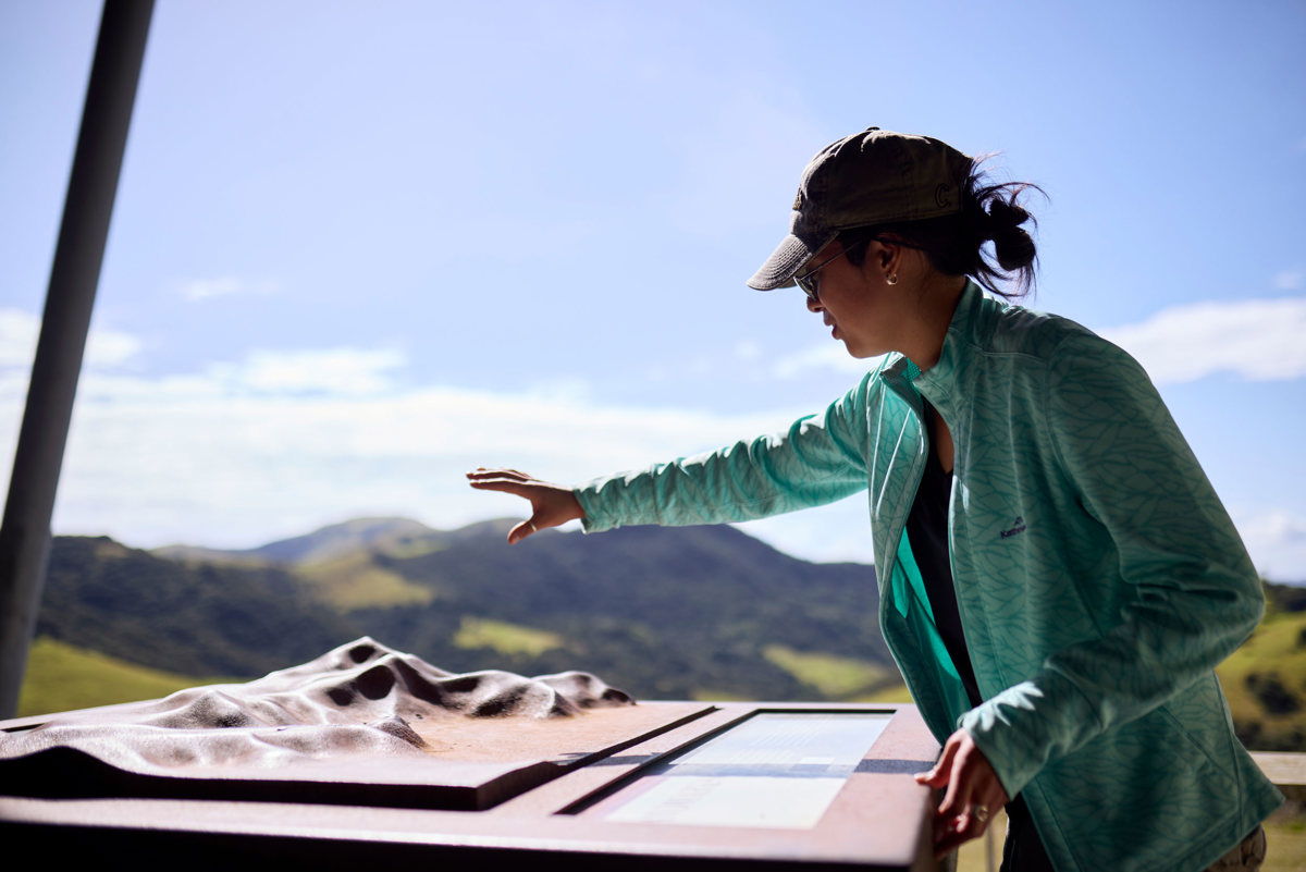
If you have less time, make your way to vantage points that can be reached by car or a short walk.
Enjoy the winemaking region
The warm, dry climate and absence of vegetation give you the feeling you’re exploring a remarkable desert. It’s a climate that is proving perfect for the area’s new gold: grapes.
More information