Ōkārito
A golden oasis
A place of harvest, conservation and goldrush, Ōkārito is rich in taonga, and home to Te Tai Poutini West Coast's oldest known building and the ancient Ōkārito lagoon.
View on map
The Ōkārito story
Lying in a narrow slice of land between Kā Tiritiri o te Moana/the Southern Alps and the surging Te Tai Poutini, Ōkārito was once the third largest West Coast port and has a history of human activity that dates back to the earliest arrivals of Polynesian peoples. Surrounded by ocean, estuary, coastal cliffs and lush rainforest, Ōkārito is steeped in legends woven by those who have long been lured to its wild, natural riches and resources.
Māori occupation and seasonal harvesting began in Ōkārito over 600 years ago. Various hapū have held mana whenua over this area that was a significant whare wānanga – a place for learning and passing on knowledge of the whakapapa (genealogy and stories) of Te Waipounamu (South Island). Ngāi Tahu currently holds mana whenua over Ōkārito Lagoon which is a place of estuarine waters that are a larder for numerous fish, shorebirds and migratory waders. The diverse wildlife made the lagoon a popular nohoanga (camping site) for mahinga kai (food gathering) and the custom of kaihaukai (exchange of food/resources).
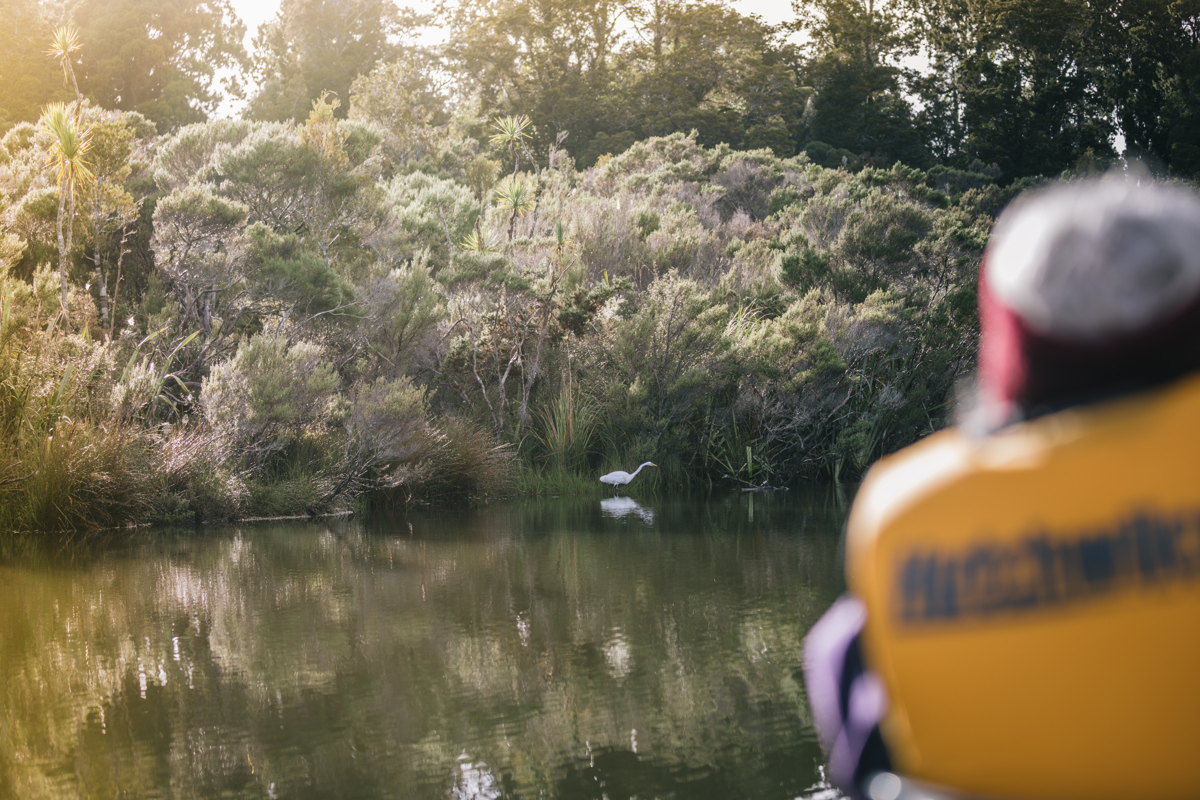
The lagoon is the feeding ground of the serene kōtuku (white heron) and lies close to the only kōtuku breeding colony in the country, at Waitangi-roto. Māori highly prized kōtuku feathers and used them to adorn people of high rank. Because of this, the kōtuku breeding grounds were retained as Māori Reserve Land until the 1950s, when the Crown acquired the land for a nature reserve. For Māori, the sharing of knowledge and kai and the centuries of kaitiakitanga (guardianship) of the area are represented in the mauri (life force) of Ōkārito; a sacred essence that binds physical and spiritual elements together, generating and upholding all life. Mauri is a key element of the spiritual relationship mana whenua has with the wider cultural landscape of Ōkārito.
In the spring of 1865 miners flocked to Ōkārito in search of gold after the precious metal had been discovered in the area's black sand beaches. By Christmas of 1865, Ōkārito was a township of 800 people and just three months later, the population was 1,500. The town supported one of the busiest ports on the West Coast and it even contemplated building a university. Another 2,500 people sought their fortunes just south, at Three Mile and Five Mile beaches, both of which had their own stores and hotels. Within eighteen months, miners had exhausted the black sands and Ōkārito was virtually deserted. Those who stayed moved back from the beaches and built massive water races to aid sluicing and later to run dredges.
A rare survivor from the goldrush era is the iconic Donovan's Store. Built during the first months of the gold rush, Donovan's was originally known as the ‘Club Hotel' and is the oldest known West Coast building. DOC began restoring the building in 1994 and has worked closely with the Ōkārito Community Association on this project with an aim to restore the building’s unique construction and create a social hub for the village. Although the restoration is not yet complete, Donovan’s remains a focal point for the community and is now regularly used for events, as a library and as a place for musicians and artists to perform.
Erected in 1901, the Ōkārito School House educated generations of children until dwindling populations led to its closure in 1946. Just over 10 years later the Greymouth YHA fronted a major restoration project that led to the building being opened as a YHA shelter in 1960. Between 1960 and 1990 the shelter was the only place for visitors to spend a night in Ōkārito. Additional restoration by DOC, YHA and the local community has led to this historic asset now offering bookable accommodation with a unique chance for travellers to experience the life of a bygone era.
During the 1970s, ‘Save Ōkārito’ became the catch-cry for one of the most intense environmental campaigns witnessed in Aotearoa New Zealand. Conservationists throughout the country rallied to stop plans to log the giant rimu forests of South Ōkārito and Waikūkūpa, home to the world’s rarest species of kiwi, the rowi. In time, the forests were saved and added to Westland Tai Poutini National Park.
Ōkārito is proudly cared for in partnership by the Department of Conservation, the Ōkārito Community Association and its residents.
Things to see and do in Ōkārito
- Take your pick of beautiful walks in the Ōkārito area featuring rimu, rata and silver pine forests and the popular 4.3km Ōkārito Trig walk. On a clear day, the Trig track is a 1.5hr return walk and you’ll catch incredible views of Te Tai Poutini National Park along the way.
- Experience Ōkārito Lagoon, the country’s largest unmodified wetland, via your choice of walk, boat or kayak. Ōkārito Kayaks offers both guided and self-guided rental options and Ōkārito Boat Ecotours runs small group nature cruises. Soaking up the lagoon from the water gives you a breathtakingly close experience with over 70 species of birds, including the rare kōtuku/white heron, along with panoramic view of the Southern Alps.
- Book a tour with Ōkārito Kiwi Tours to venture deep into the Kiwi habitat for a chance to see the rare Ōkārito kiwi or rowi.
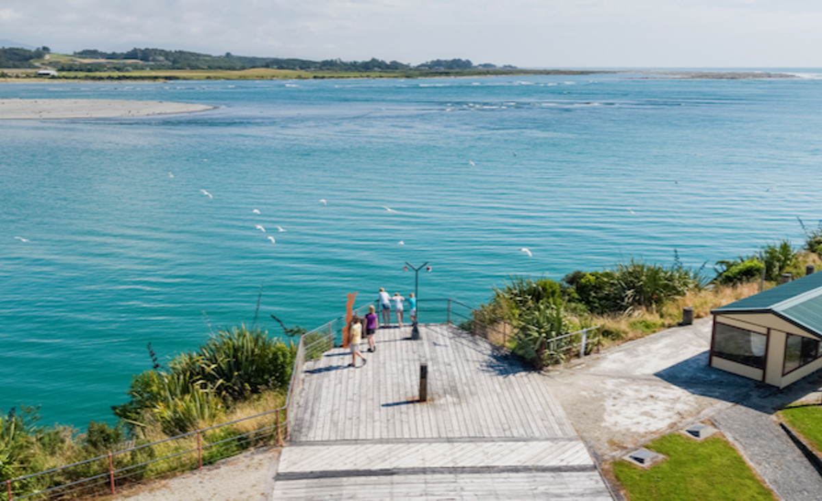
- Visit the Ōkārito Wharf and boatshed, featuring great information panels, to discover the history of a town that almost reverted into the wilderness.
- Pop into Donovan’s Store to learn more about the town and check out their event calendar for local gigs and events.
- For those wanting to stay overnight, book in at the Ōkārito Community Campground or explore the bookable accommodation now available at the Ōkārito Schoolhouse (built in 1901) for a unique chance to stay in a historic building that served as a YHA shelter for 30 years and was restored by the Ōkārito Community Association and the Department of Conservation in 1990. The schoolhouse has limited occupancy, so be sure to book in advance.